The first mapathon of the second cohort took place over 4 days in late August 2020. The preparations started immediately after completion of the last necessary qualification program course and lasted about 2 months. Due to corona-related limitations, coordination and planning activities were shifted to online meetings, paired with individual or small group activities for preparation. The preparatory steps initially included the examination of already existing data from previous experiments and the formulation of individual requirements of the individual research projects for the joint experiment. The solutions developed by the first cohort for conducting such experiments were screened, evaluated and, if necessary, expanded.
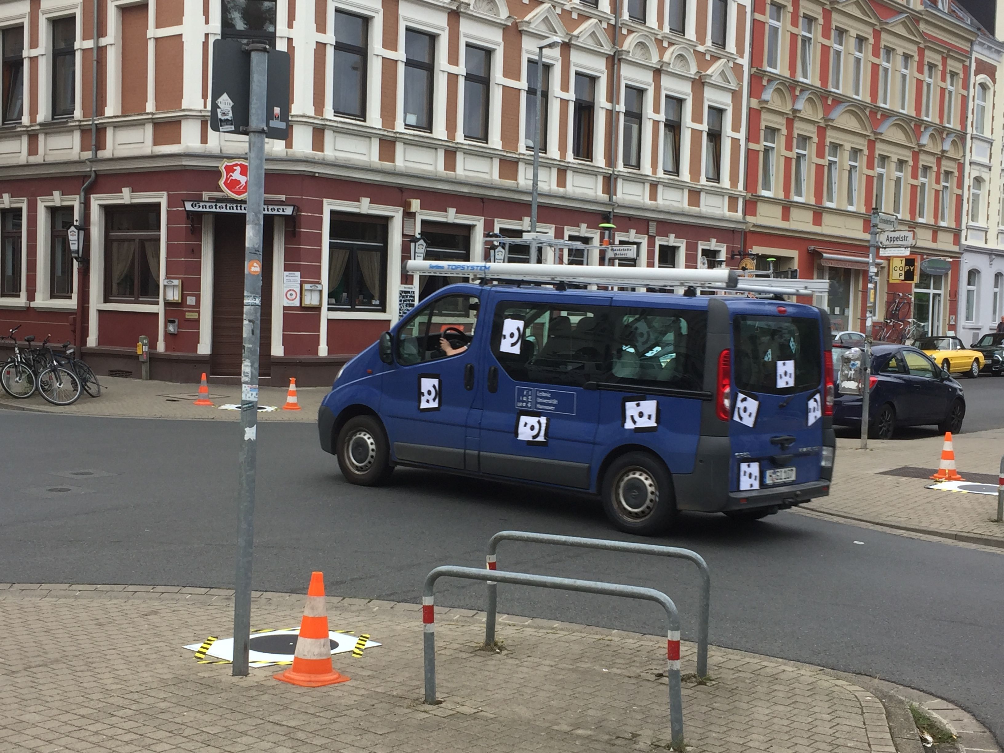
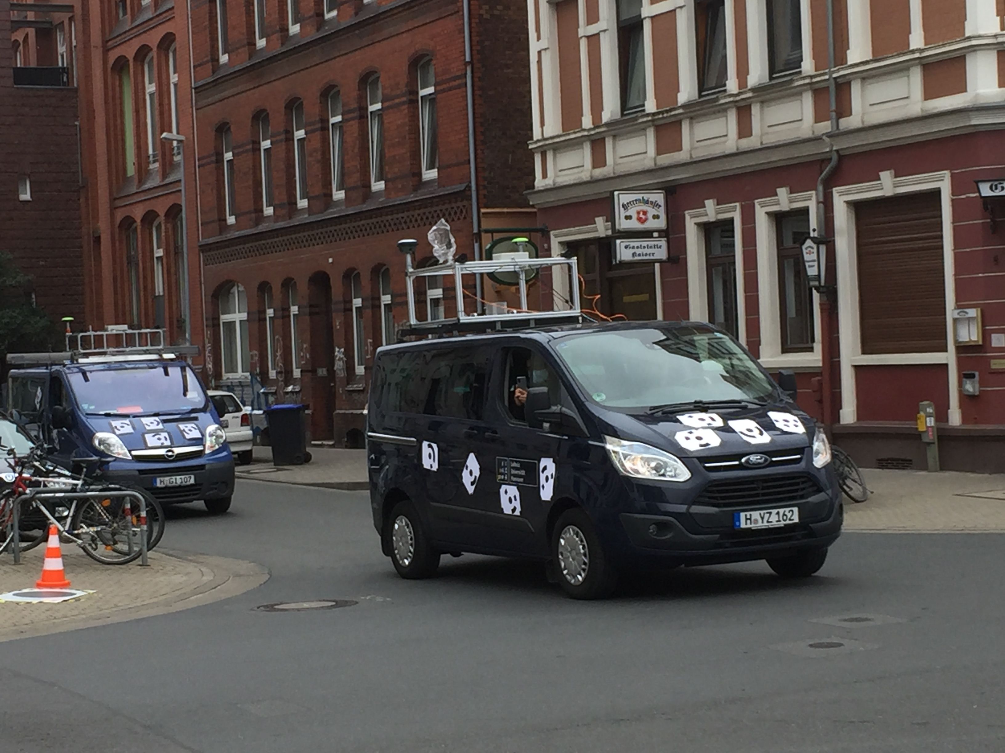
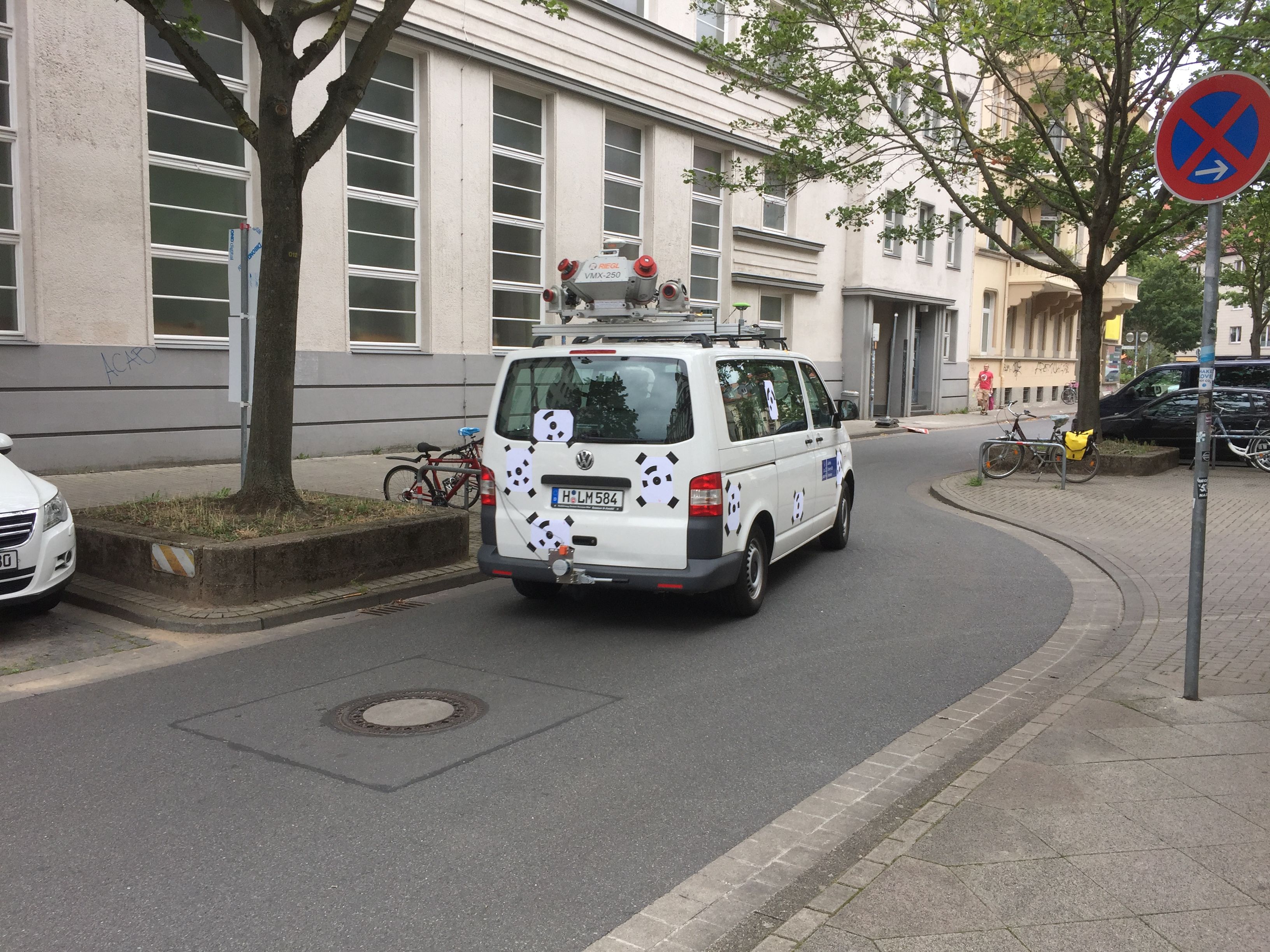
The three vehicles of the participating institutes already equipped with sensor platforms were used again in a slightly modified form, with newly assembled sensor combinations. Stereo cameras and GNSS/IMU systems were again used on all vehicles, which were equipped with visual markers for stereo tracking. The RIEGL Mobile Mapping System was supplemented by three additional LiDAR systems (2x Velodyne PUCK, Cepton HR80W) which had already been used in Mapathon #2.
Additionally, a number of external sensors for specialized experiments were added. A UAV (unmanned aerial vehicle) equipped with stereo cameras was used to observe the vehicles in top view in the area of an intersection. Additional vehicles equipped with GNSS systems for GNSS reference measurements were also placed along the test track. Another scenario dealt with the static observation of vehicles and pedestrians in the area of an intersection.
This time, the setup and calibration of the sensor platforms took much more time (2 full days: Friday, August 21 and Monday, August 24) than in previous experiments, since increased demands on sensor accuracy resulted in more complex calibration steps. The experiments were performed under difficult weather conditions on Monday and Tuesday, followed by the dismantling of all sensor platforms and a final calibration on Wednesday. For data storage, specifically prepared laptops were used in all experiments; the time synchronization of all measurements was done via GPS time.
The Participating Vehicles
Appelstraße 9A
30167 Hannover


